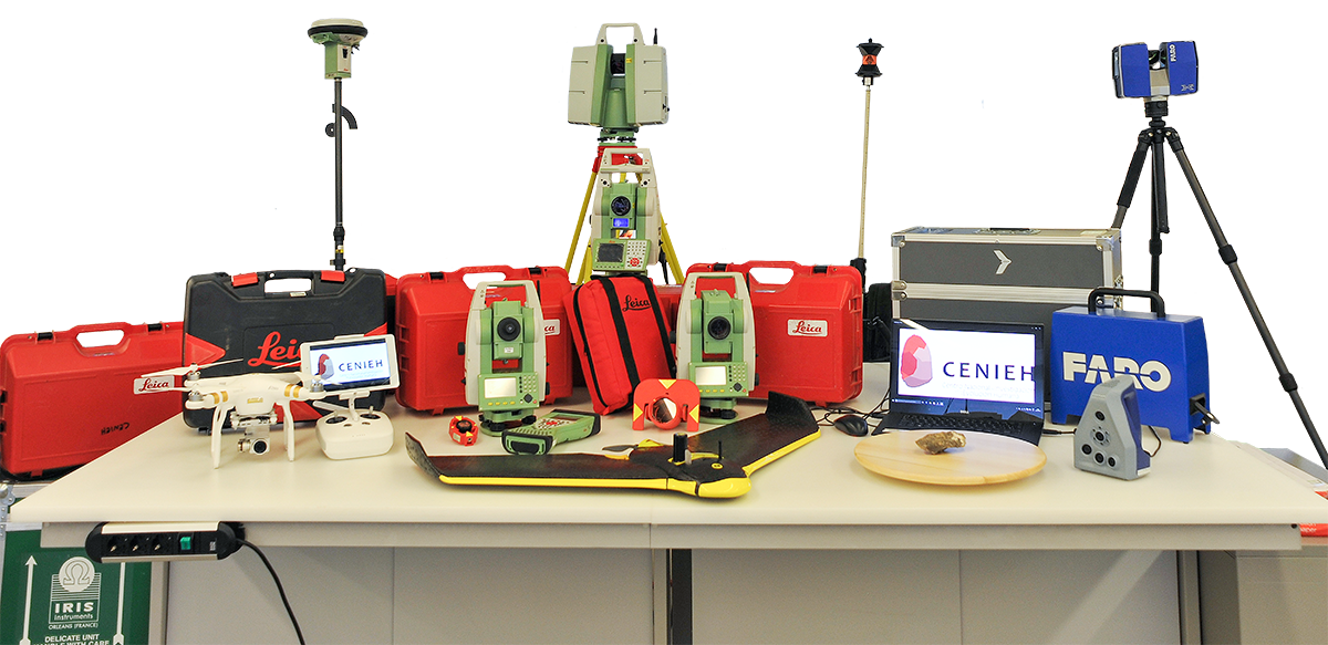
Cartografía digital y Análisis 3D
Laboratorio


Universidad de Valladolid
Valladolid, EspañaPublicaciones en colaboración con investigadores/as de Universidad de Valladolid (10)
2024
-
Multiple Close-Range Geomatic Techniques for the Kinematic Study of the La Paúl Rock Glacier, Southern Pyrenees
Remote Sensing, Vol. 16, Núm. 1
2023
-
The final countdown? Monitoring the rapid shrinkage of the Maladeta glacier (2010–2020), Southern Pyrenees
Land Degradation and Development, Vol. 34, Núm. 18, pp. 5905-5922
2022
2021
-
Erratum to “Review on sinkhole monitoring and performance of remediation measures by high-precision leveling and terrestrial laser scanner in the salt karst of the Ebro Valley, Spain” [Engineering Geology 248 (2019) 283–308] (Engineering Geology (2019) 248 (283–308), (S0013795218306677), (10.1016/j.enggeo.2018.12.004))
Engineering Geology
-
Shedding light on pre-Columbian crania collections through state-of-the-art 3D scanning techniques
Virtual Archaeology Review, Vol. 12, Núm. 24, pp. 1-10
2020
-
3D monitoring of Paleolithic archaeological excavations using terrestrial laser scanner systems (Sierra de Atapuerca, Railway Trench sites, Burgos, N Spain)
Digital Applications in Archaeology and Cultural Heritage, Vol. 19
2019
-
Geomatic methods applied to the change study of the la paúl rock glacier, Spanish pyrenees
International Archives of the Photogrammetry, Remote Sensing and Spatial Information Sciences - ISPRS Archives
-
Periglacial environments and frozen ground in the central Pyrenean high mountain area: Ground thermal regime and distribution of landforms and processes
Permafrost and Periglacial Processes
-
Review on sinkhole monitoring and performance of remediation measures by high-precision leveling and terrestrial laser scanner in the salt karst of the Ebro Valley, Spain
Engineering Geology, Vol. 248, pp. 283-308